)
Biography
Dr. Andrew Annex is a planetary scientist and avid coder. He likes to make computers do science. He is also the author of the SpiceyPy Python library.
Interests
- Geospatial Software Development
- Remote Sensing
- Deep Learning
- Mars
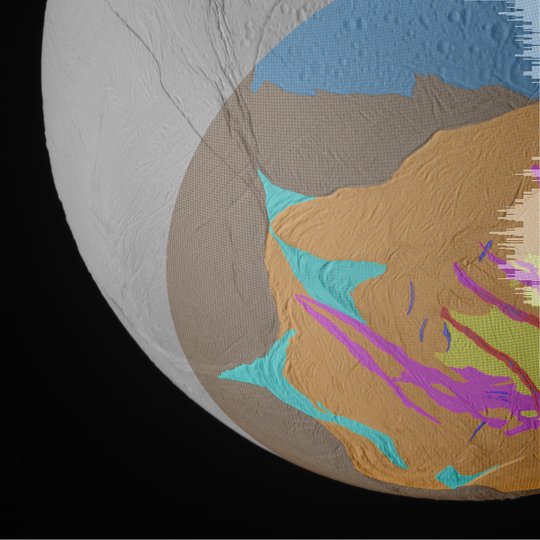
- Enceladus
- Mission Concept Development
- ISRU
Education
Ph.D. in Earth and Planetary Sciences, 2022
Johns Hopkins University
MA in Earth and Planetary Sciences, 2018
Johns Hopkins University
BSc in Environmental Sciences, 2014
The University of Virginia